
This is Part 1 of my 6 part series of trail guides for Bergslagsleden. Please read my introduction and epilogue to this trail here if you haven't done so yet. This entire trail is also a part of the E1 trail system, and you can read more about that in my E1 trail guides here. Please keep in mind it is still a work in progress. And you can find the official trail website here if you haven't already.
This report covers the last stage of Västra Vätterleden hiking northbound, which leads directly to the southern starting point of Bergslagsleden, as well as the first three stages of the trail (17-15). I include the last stage of Västra Vätterleden for pragmatic reasons as a section hiker, which has mostly to do with public transportation, using the lakeside town of Karlsborg as a start/endpoint. Stage 15 ends close to the town of Laxå.
However if you are a thru-hiker and need to stock up on supplies, want/need a hostel or hotel, craving a good cup of coffee and/or a warm meal, or just want to do some sight-seeing, I recommend paying Karlsborg a visit. There are regular buses that connect to the village of Forsvik (where the E1 continues), and also to the city of Skövde where there is a train station for further connections.
Hiking southbound on the E1 the next trail is the northern half of Västra Vätterleden, and you can check out my guide from Stage 2 (Forsvik) to Stage 4 (Hjo) here. Hiking northbound the E1 continues on the Bergslagsleden, and you can check out my guide from Stage 14 (Laxå) to Stage 12 (Leken) here.
Now on with the show!
---
I did this section hike while I was still recovering from strep throat, so I was a bit out of my element on this trip. However, even though I was still a bit sick, I still managed to really enjoy this section of trail, which I think speaks volumes about both the quality of the nature and how the trail itself is maintained. If you are curious as to why I bothered to hike while sick, it's a bit of a long story, but to try and cut it short: I had already postponed the trip the week before, and the next month I or my family have busy weekends. I had to either hike a bit sick, or wait a solid month to hike again--something I was not willing to do. This information about my health will be of more relevance towards the end of the report.
Maybe it's because I recently got a new camera, or maybe it's because this stretch of trail is very scenic (or both), but I took loads of pictures for a relatively short trip. That being said, I ran into some technical difficulties towards the end of the trip when my camera's battery died, and for some odd reason my spare battery (which I did charge after buying it brand new) was also dead when I switched them. So because the last stage and a half lack pictures, to try and make up for it, I have included some extra pictures from the other stages.
The northern half of Västra Vätterleden and the beginning of Bergslagsleden feel much more like an adventure than a walk in the park. This area is more isolated, and quite often feels and looks way more wild and pure. Yet in spite of this, there are several small patches of civilization that make it very convenient for backpackers to perhaps enjoy a cup of coffee, buy a meal, fill up on tap water, and more. Some of these pit-stops of backpacking luxuries are dependent on the season and opening hours, of course--but if you have good timing or get lucky this is another nice aspect of this path. There were enough places to fill up on tap water that I didn't even need to use my water filter on this trip.
First let's cover Karlsborg. I got off the bus and found that I had an hour of time to kill before I got on a bus to Forsvik, so I walked around and did a bit of sight-seeing. It's a pretty little town with basics for travelers, and is right on the shores of Vättern.
 |
| The vibrant hub of activity that is the central Karlsborg bus stop. |

 |
| A hostel, about a 5 minute walk from the bus stop. They were closed while I was there. |
 |
| The town is still an active military base. |


I took the 420 bus to Forsvik, where the trail begins, and began my hike. The village has an old charm, and next to the Gota water canal are bathrooms and other services like a laundry room and shower. Everything was locked up except for one bathroom while I was there.


 |
| Look carefully for the zen duck. |
 |
| Zen duck is. It simply is. |
Once you hike to the northern part of the village, there are a few options. You can follow the trail on a long loop to the north-west to the village of Undenäs and back east again. Or you could do part of loop by hiking north then turning east rather than circle west. And then there is the more direct route, which is what I did, as I wanted to conserve my energy for a longer hike the next day--especially considering that I was still sick. The more direct path is simple, you just hike towards Forsvik church and continue down that road for a while. Eventually there is an intersection where you make a right (east) down another backwoods road, and then make a left (north) on yet another road that will take you to lake St. Kalven. You will have to hike around the lake a bit before getting to the shelter.
At the lake is a shelter which is in not-bad condition, and has a nice view of the lake because it is on a peninsula. The pretty location comes with a price, however, as there will be more bugs around of course. There is no outhouse.


 |
| If you take the shortcut to the shelter at St. Kalven lake, this is the intersection where you turn east. |


 |
| View of lake Björklången looking north. |


 |
| My view in the morning. |
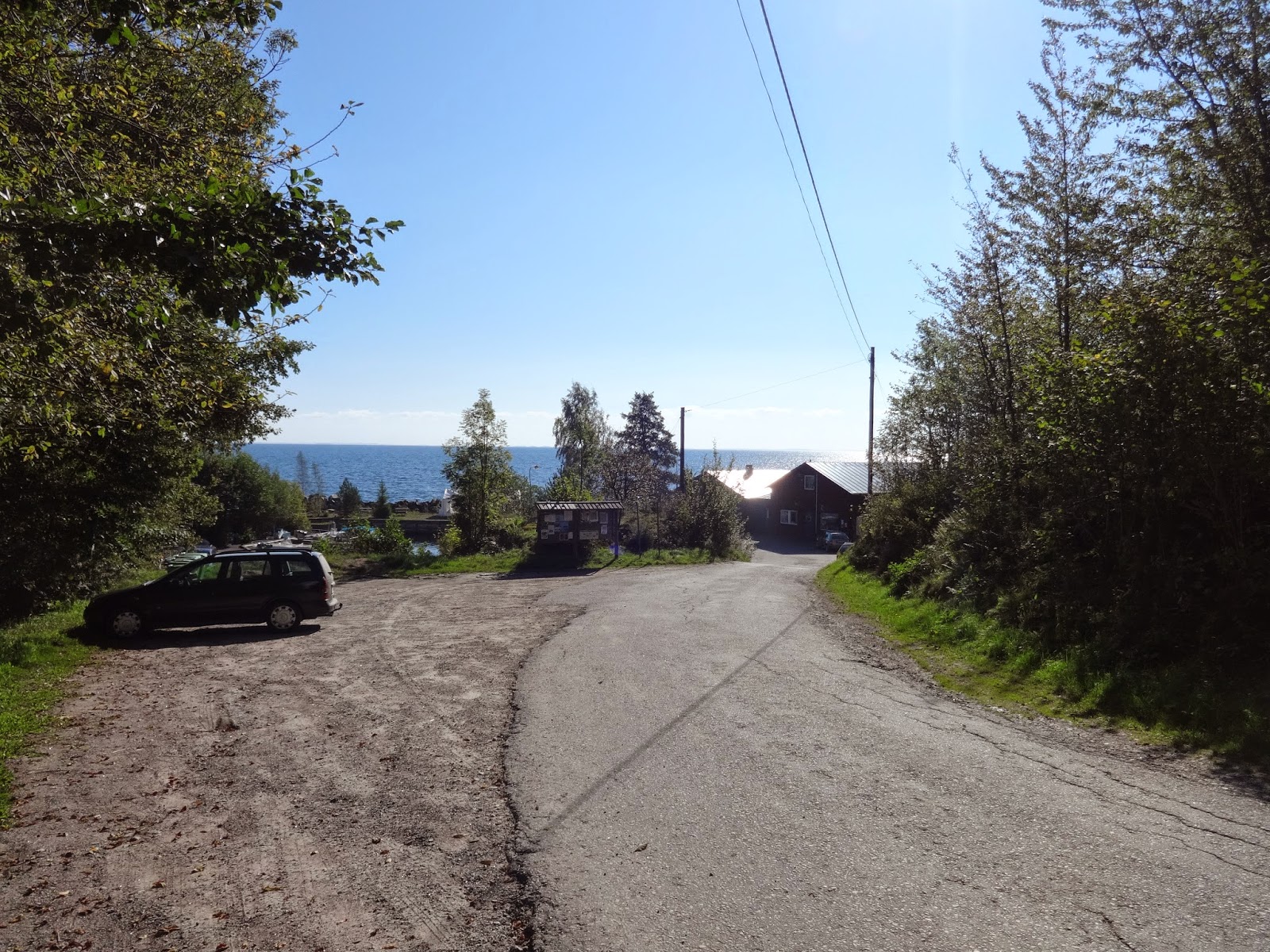
The next big landmark is the lakeside village of Granvik. On the way is a good hike and the trail passes a fishmonger's right on the banks of the lake, complete with its own little harbor. I could not help but go inside and look around, not to mention the views of Vättern were really nice there. Past the fishmonger is another lovely hike that includes up some cliffs for some nice views of the lake and the shoreline. In town there is a hostel that also serves breakfast and coffee with buns and cookies. To find the hostel walk west-ish past the park next to lake Sågdammen.
Past town are woods, and soon enough the lake St. Djäknasjön, which has several shelters. There are two small shelters that don't have floors on each side of the lake, but there is one good one for spending the night with a solid floor on a cliff at the north-east corner of the lake. Past the parking lot are more woods, and soon enough the end of Västra Vätterleden and the beginning of Bergslagsleden in Stenkällegården.


 |
| Look out for the bull. I'm not joking, there was seriously a bull roaming free here. |
 |
| I got the the farmland exit in a hurry after I saw the bull. |
 |
| Warp zone! |
 |
| Highway 49 crossing. |


 |
| The big fish, the tub of small fish, and the tub of crayfish were all freshly caught from the lake. |
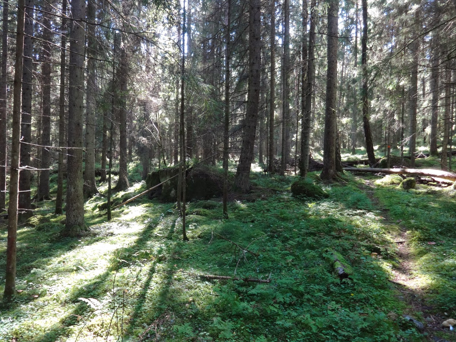


Past the campgrounds the trail soon blazes into the woods, and then into a little slice of heaven type of hike in Tiveden national park. Hiking through the park you follow a rocky stream that fills the air all over with the relaxing sound of flowing water. There are a few side-trails one can hike around the park. I enjoyed the park so much I decided to check out one of the side-trails even though the sun was going down. The walk around more of the interior of the park was nice, and very scenic, but I must admit the climb up to the top of The Troll Church was pretty anti-climactic. The view just wasn't that great.
Shortly after exiting the Tiveden there is a good shelter near a pond, which is where I spent the night. At this campsite there were three other backpackers from Germany who were really friendly.


After a short hike from the shelter, Stage 16 begins. It's another campground, and I was happy to sit down for coffee and a bun. Very friendly staff. Coming up is a short marsh crossing, but the woods take over again for a walk full of moss and ferns. At roughly the halfway point, which is the shelter next to the big lake Bosjön, is where my camera died. But at least I got a few pictures of some good hedgehog mushrooms that I picked along the way, which I ate for lunch along with some potato and soy ground "meat," and it was delicious.


 |
| A newly built and very nice shelter, albeit a bit small. |


The rest of Stage 16 is a nice hike, and nothing out of the ordinary about the 2nd half of this stage do I feel like I should report. By the time I got to Stage 15 I was exhausted because I was still recovering from being sick. That combined with the fact that my camera was dead, which is my main documentation tool, put me in not a very good mood. I decided to just take the direct route to Laxå to get the train home a day early--the direct route being to follow a dirt road close to Gråmon and just hike north. The trail turns to the west just past Grytsjön lake, I just continued straight. Luckily for me, after hiking on this dirt road for awhile, a local person was kind enough to give me a ride to the train station.
One thing I do remember about Stage 15 is a house along the way that has tap water available for hikers to fill up their bottles, and this is not marked on the map. This house is close to Grytsjön lake and is pretty hard to miss, as there is a sign welcoming hikers to fill up. Other than that, my apologies for an incomplete report on the rest of Stage 15, but it seems rather straight forward based on not only the map, but what locals told me as well.
I was still able to hike around 63km total, including about 30km before I got a ride in the middle of Stage 15. Not too bad for being sick. I was literally coughing up blood from time to time on this trip, yet somehow managed to have a good time. Not often you read a sentence like that last one.