
----------
This post covers Stage 8, Bottenstugan-Grandalen, of the
official guide to the trail.
You can also check out my report on the section before this one (hiking southbound), Stage 9.
If you have not already read the introduction to this trail guide, you can check it out by clicking here. It has a list of reports on other sections I have hiked plus other important/useful background information in general--so please read the introduction first before reading my reports.
----------
There was quite a bit of hiking under thick woods, and in the late spring to early fall expect a thick canopy above and around you. This is a very green part of trail, full of not just the leaf canopy but also plenty of ferns, moss, and reeds. This was a fairly easy stage to hike for me, but I can see why the official guide marked it as being "average" difficulty due to some hills and occasional steep climbs. Though it should not present much trouble to most people, and as is the trend on the more southern portions of trail, again my feet remained pretty dry completing this path.
First as you leave the shelter/endpoint of Stage 9, you briefly follow a road, then soon trek through the woods and up a hill (with a few staircases) where there is a nice view along with a few benches. I gladly ate my lunch here and was thankful for both good weather and good timing of being there just at lunchtime.


Back into the woods, down the hill, past one small lake, and there is another short road hike. For being a road hike, however, it is a pretty nice one, and goes right along lake Nedre Långevatten before going back into the woods towards its sister lake Övre Långevatten.
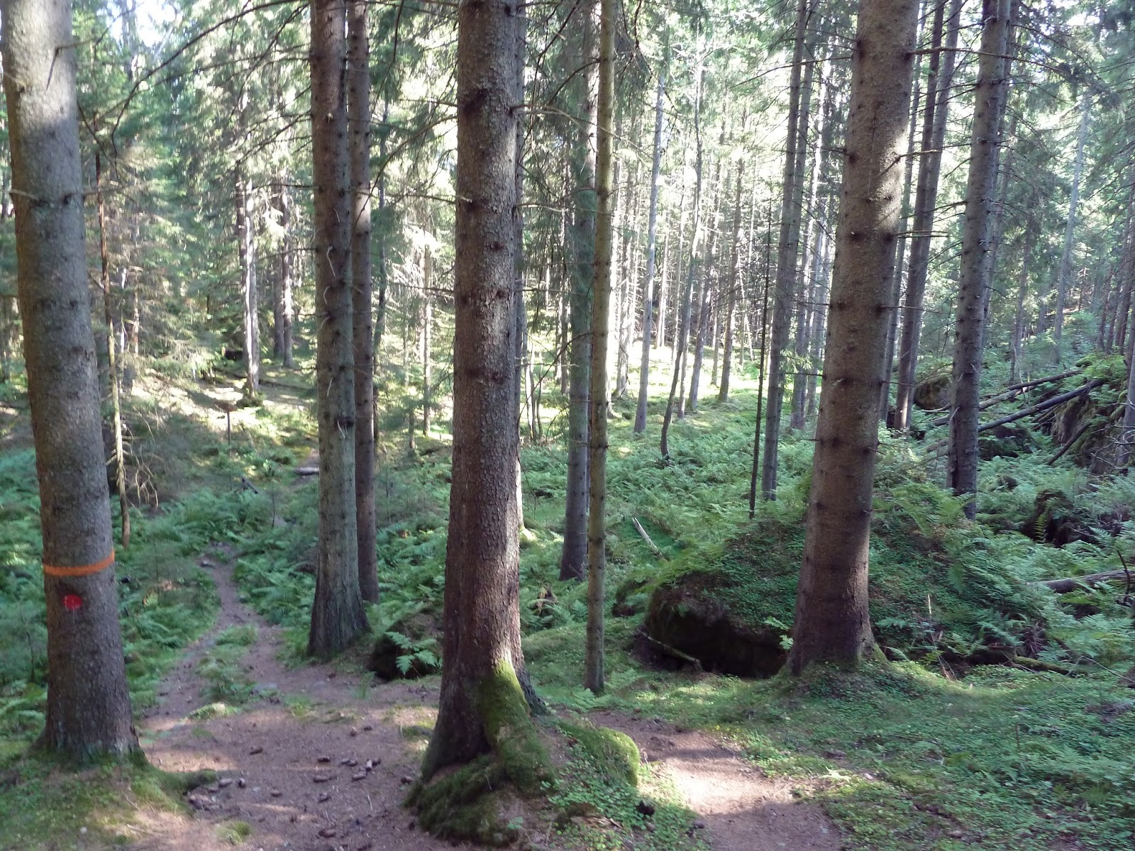
Once you arrive at Övre Långevatten you can choose to take a side-trail that covers the low ground close to the lake, or take the high ground path. There were some people camped out right off the low ground trail, and I don't blame them, as this is a good place to make camp. I decided on the high ground and I am happy I did, as it was a very beautiful path, all mossy, and easy on the feet too.


 |
| Here is where the trail splits going southbound to low and high paths. |
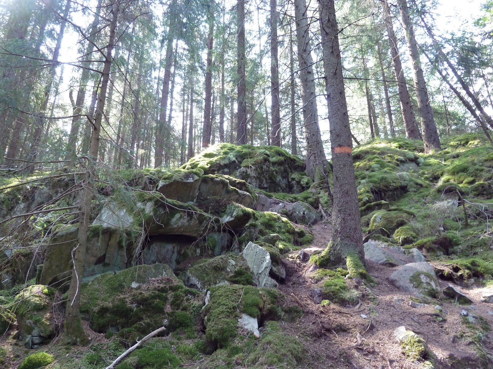 |
| The high path up. |


Soon after is another small lake, more broad-leaf trees rather than pine-troll woods, and the shelter. The shelter was alright, though the tiny lake would not be my first choice to swim in. There are some ruins ahead, then more quite easy (and pleasant) road walking, a clearing, and suddenly it ends on a paved road.


In spite of being a short stage, it was a memorable one with lots of interesting sights, as you can see above. Only took me about four hours to complete, and that is including a long lunch break, and a few other short water breaks. As I mentioned on my last report, if you are here during high season in the summer, expect a lot of other backpackers.
Up next, Stage 7 and the beginning of a more "civilized" part of Bohusleden.