
This is Part 5 of my 6 part series of trail guides for Bergslagsleden. Please read my introduction and epilogue to this trail here if you haven't done so yet. This entire trail is also a part of the E1 trail system, and you can read more about that in my E1 trail guides here. Please keep in mind it is still a work in progress. And you can find the official trail website here if you haven't already.
This report covers stages 4-3, or from roughly the town of Lindesberg to the town of Kopparberg. These stages are somewhat longer at 23km each.
The southern end of stage 4 is somewhat close (~12km) to the town of Lindesberg, and is also close (~2km) to the 50 highway to the east, which has daily bus connections (e.g. Fanthyttan bus stop nearby). The end/start point of the Stjärnfors area at the northern part of stage 3 is about 6km from Kopparberg, but in stage 2 the trail goes right past/through this small town as well. Both Lindesberg and Kopparberg offer limited but good resources for hikers, such as restaurants, supermarkets, hotels/BBs, public transportation, etc. But do note that Kopparberg is smaller than Lindesberg, and will have less options and such.
Hiking southbound on the E1 you continue on Bergslagsleden, and you can check out my previous guide from stages 7-5 here. Hiking northbound you continue on Bergslagsleden, and you can check out my guide on the last two stages here.
Now on with the show!
---
This was one of my more memorable and challenging hikes, but that has a lot to do with the seasonal conditions. This section hike was in end of February of 2015, and presented some unique challenges that I think I ought to describe first before getting to the rest of the report. In doing preparations for this trip, I did as much research as I could think of beforehand. I checked the weather reports several times a day a week before the trip, I called and spoke to some locals (such as the director of a cross-country ski club in the area), and even looked at some webcams in or around the area. I did all this because of the snow. As I have spoken about in some of my Youtube videos, this year has been a rather warm winter here in Sweden. 2014 was the warmest year on record for Sweden, actually.
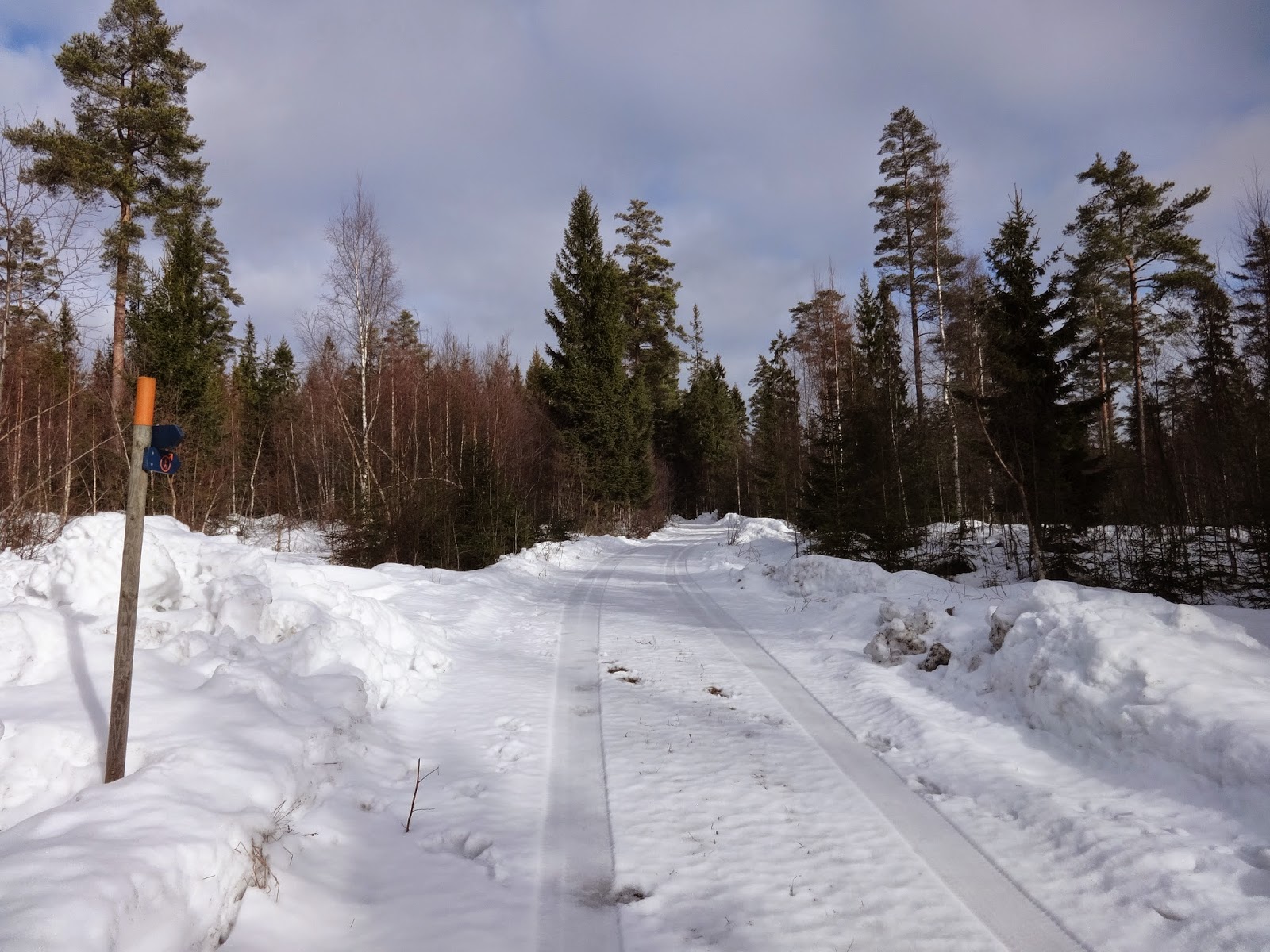
I don't own snow shoes or skis, and didn't want to buy them just for this trip (though in the future I am strongly considering it, but don't want to rush things). And in many parts of southern Sweden, the snow had long since melted away by the middle of February. Plus all my research suggested that there wouldn't be that much snow around a significant part of the trail... however I knew going into this trip that some parts of the trail, due to elevation in particular, was going to have snow. In some cases, lots of snow.

Often up to my knees, and at times up to my waist in snow drifts in higher elevations. But because it is so difficult for me to reserve time off to go on these section hikes for a variety of reasons, I nailed down the dates, stuck to my guns, and just decided to go and roll with the punches. And in the end I had an amazing experience where I really had to push myself at times, and on the train home felt dare I say a bit proud of myself, and of course pretty tired. Hiking through snowy woods in higher elevations without any snow shoes or skis any way you slice it is going to be hard. It made the view on top of the highest point all the more satisfying.
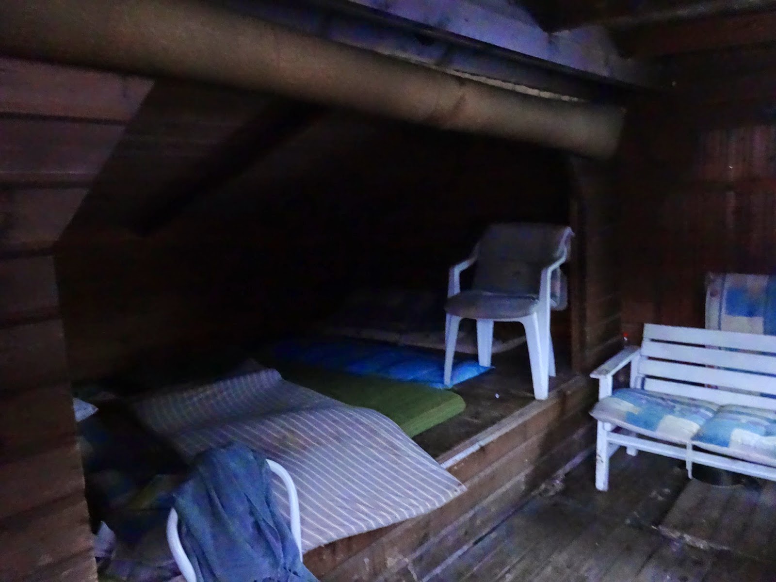
It began by taking a train to Örebro, then another train to Lindesberg, and then a bus to the Fanthyttan bus stop a few kilometers from the trail on highway 50. Soon enough I was on the trail by late afternoon, and by dusk was at the nice trail shelter at the lovely Garphyttedammen lake and dam. I didn't even notice that there was another trail shelter on the other side of the dam until the next morning, but both shelters are good and because of the dam I was able to easily get water from the frozen lake. Shortly after this area on the banks of lake Smedsjön, there is a unique and hobo-esque type shelter along with an outhouse.


Past the hobo-hut the trail goes up in elevation for a few nice views before going around the big lake Gränsjön. As you will already know if you've followed my trail guides, I am a big fan of going off-trail, exploring, alternative routes, etc. on any given hike. So naturally I love to study maps looking for interesting features and such, and noticed a few things about the Gränsjön area. One is that the trail goes through a swampy/bog type area before it goes around it to the east, but before it does this it passes a lumber road that eventually leads to the western side of the lake. On the western side of the lake I noticed there was a symbol for a dam and some wooded area. I love old dams/bridges, and don't like stomping through bogs so much, so I opted to circle the lake to the west and was happy that I did.
In addition to the dam being a beauty of moss covered old stone, there are also nice wooded areas that one could make camp in on the western shores of the lake. There is also a small café on the road (just before the dam), but unfortunately it was closed for the season. Soon after going around the lake is the beginning of stage 3.


At the beginning of stage 3 is another big lake Dammsjön, and on both sides of the eastern finger of the lake there are trail shelters. The trail shelter on the northern side (hike to the right if going northbound) looked to be in better condition, though I didn't get a close look at it, and it was also in a patch of woods rather than an exposed shore. So if I were to spend the night there, I would have gone to the north/woodsy shelter; but it was only the middle of the day, and I really wanted to press on. Ahead I knew some big climbs (well, big for southern/central Sweden that is) were coming soon, as well as a nature reserve, and was really looking forward to it.
I opted to follow the dirt road straight to the nature reserve rather than the trail (which pretty much follows the road anyhow--you can see it from the road at several points) so that I could get to the top of the highest point of the nature reserve before dusk. The hike in the nature reserve was truly awe inspiring, and I would imagine it is just as or even more beautiful in other season too. You follow a babbling stream that flows down the little mountain (big hill?), and after much huffing and puffing and cursing the deep snow, I finally got to the top and celebrated by having lunch at the trail shelter there. This also marks the first time I felt the urge to take a big of video while I was on top of the lookout tower, which I will also post below (though I recommend you watch it on Youtube in HD).


Climbing back down the little mountain, you'll have to loop around it and backtrack a bit to get back on the main trail again, but it's just a short detour and definitely worth it. Bergslagsleden for some time has been on the top of my "hike again" list of trails, but these stages only further solidified my wish to come back and do a thru-hike of the whole thing one day, and Kindla nature reserve is a big highlight of this area.
Back on the trail, there is a kinda shabby, not so great shelter, close by at Rastbackstjärn. It's also right on the shore, and surrounded by higher elevation, so I would imagine that the cold sink there would really suck. So in spite of it being dusk and being tired, I marched on. I didn't take many more pictures that night, and eventually got to the shelter by the lake Myggsjön, and was glad to be there. It's big as far as trail shelters go, and also up on the hill away from the lake a bit, which is nice to avoid the cold sink I just wrote about. There is a spring near the lake where I got very clear water from, as the lake was frozen over, but I would guess that the lake has good water too considering the location.
I got a great night's sleep (over 10 hours, been a while since that happened!), and the next day finished up the rest of stage 3 without any major issues, aside from getting my feet soaked (again) in a small bog. And you pass the obligatory creepy, abandoned house. There is a shelter close to the end (northbound) of this stage, but I didn't bother to stop and check it out, as I had a train to catch in Kopparberg.


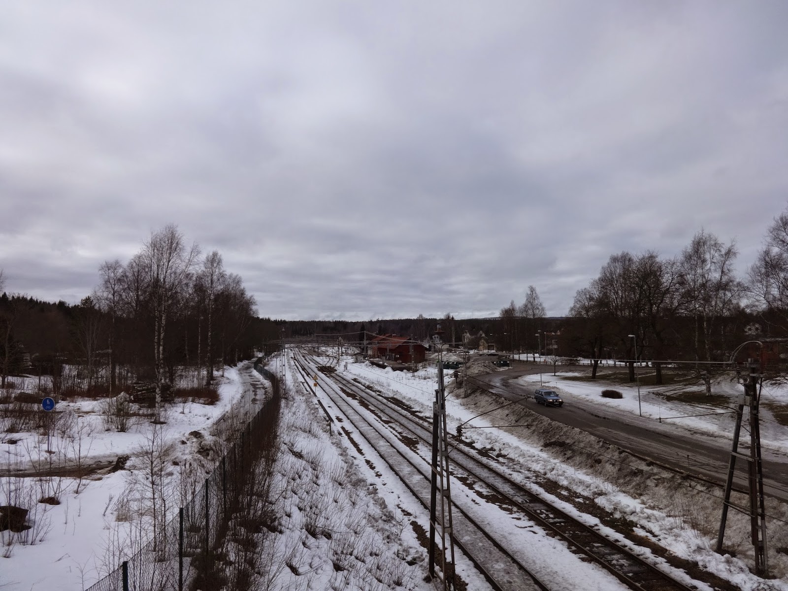
You can continue on to stage 2 from here, or if you have a train to catch like I did, you can take the direct route to Kopparberg and follow highway 63 into town. It's only 6km, you'll see the train tracks right away, and close to the train station is the obligatory pizzeria (which had good food and service, I would add). Oh, and a shopping cart in the river?


I am really looking forward to returning to finish Bergslagsleden on my next trip, plus there is also a brewery in Kopparberg that I'd like to check out when I go up there next time as well. Hopefully there won't be as much snow come mid-spring when I plan on being there next.