
----------
This post covers Stages 4 and 3, Jonsered-Kåsjön and Kåsjön-Skatås, of the
official guide to the trail.
You can also check out my report on the section before this one (hiking southbound), Stage 5.
You can also check out my report on the section before this one (hiking southbound), Stage 5.
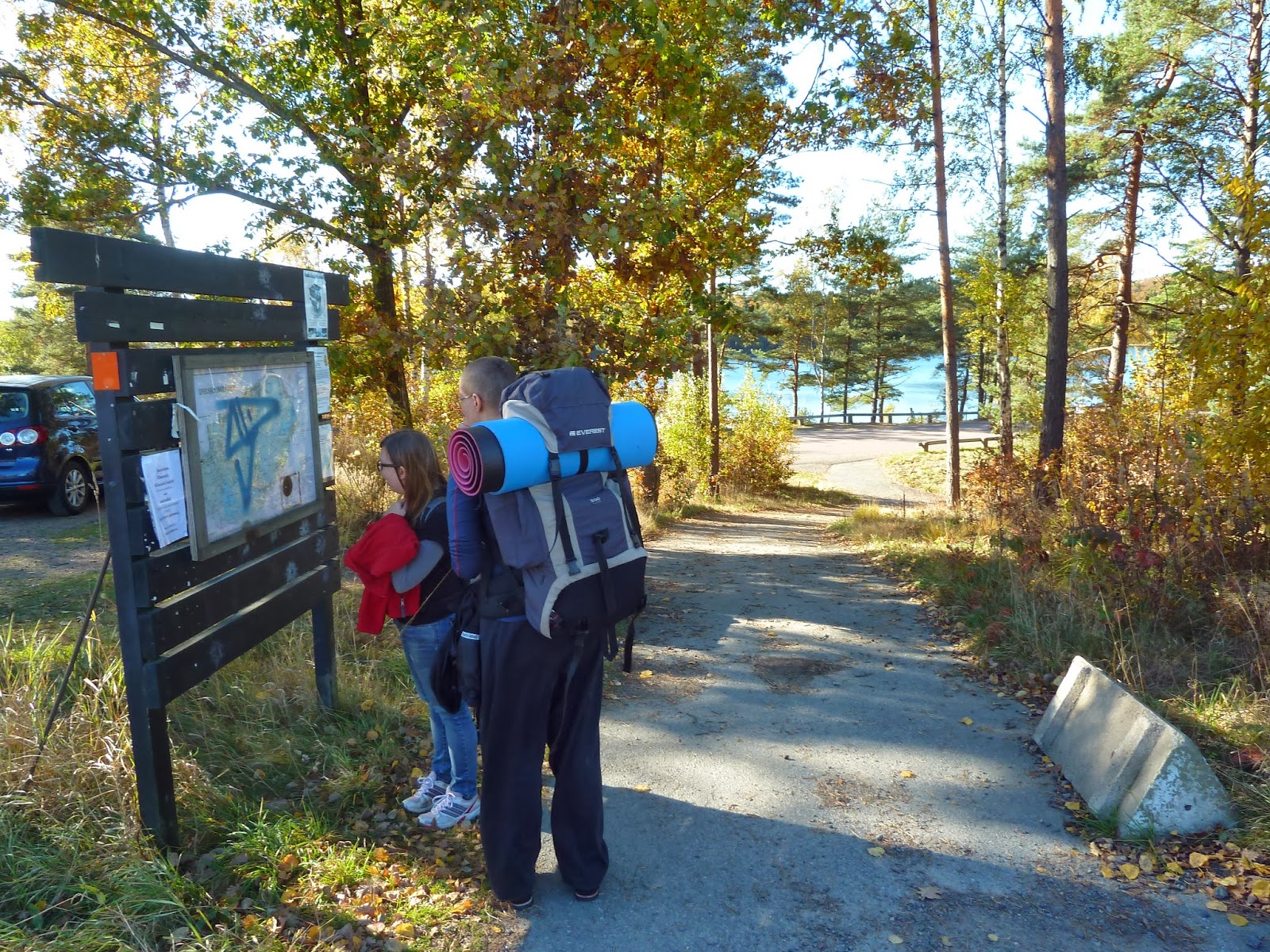
At Skatås the E1 trail (which follows the first part of Bohusleden) connects with the next trail going northbound, Vildmarksleden. Both trails follow each other in Stage 3 and then separate shortly after Stage 4 begins (soon after you pass the power lines near a narrow lake--see picture below with caption).
If you have not already read the introduction to this trail guide, you can check it out by clicking here. It has a list of reports on other sections I have hiked plus other important/useful background information in general--so please read the introduction first before reading my reports.
----------
* These two stages are both fairly short at 9 and 8.5km, and have a lot in common such as the topography and general type of trail, so I decided to report on them together. For being so close to the city--especially a big city like Göteborg--these two stages are surprisingly woodsy and quaint in many places. As is the case with many of the stages in the southern half of Bohusleden, there are many people that you will pass and bump into on the trail. The last four southern stages are definitely the most crowded, and not just with backpackers and campers. Dozens of mountain bikers, trail runners, dog walkers, and people of all ages take advantage of the trails here--and Bohusleden is only one of several trails in the area as well.
My good friends Edit and Julia came with me on this section hike, and we were lucky with great weather and got to experience part of the peak of autumn colors. We stuck to the official trail for all of Stage 4, but did some trail hopping in Stage 3 which made for a bit of a longer but lovely hike through a nature reserve. We all agreed that Stage 4 has good hiking and sights, and I highly recommend that anyone going through Stage 3 do some extra exploring as we did. These two stages both had me constantly taking my camera out, so on to lots of pictures.


Stage 4 starts at a convenient location, with the trail passing right over a train station. If you'd like some food or coffee, there is a cozy little café near the station that the trail passes right by. Before moving into the woods, there is some road hiking, and the real trail begins just past a playground, where the woods take over for a majority of the stage. The trail also goes right over the busy E20 highway.


There are a few rest areas near a large pond at roughly the halfway point of the stage. In a field there is a park bench, where we stopped for lunch, and closer to the lake is a small but serviceable wind shelter. There was a sign for a toilet, but none of us used or even saw it. A parking lot is also near by, and plenty of people were out and about.
After this area is another big patch of woods hiking, with a lot of hills and rocky trail. While there are a few small wet patches and bog crossing, this area (and most of both Stages 4 and 3) is generally quite dry--and we were there after several rainy days. After passing a scenic lake on some cliffs, the trail soon finds the beginning of Stage 3 just after crossing under a small highway.


 |
| Near this spot (to the left of the frame or south-east) is where E1 continues on Vildmarksleden. |


People will now be regularly passing by as the trail follows the large lake Kåsjön and then moves closer to the big city. Things shift to a more "walk in the park" type feel, but return to a woodsy hike near and in the nature reserves that much of Stage 3 goes through.


Below is a picture of some stone steps we encountered while in the nature reserve, and also marks were we got onto another trail that goes south through the reserve. At first we simply stopped noticing anymore orange trail markers, but figured that we would just meet up with the trail later on anyhow. Plus on the western shore of Ö. Långvattnet is a shelter.
The shelter is marked on the Stage 3 map, albeit somewhat awkwardly with the large symbols in the way of the actual trail and exact location of the shelter, but we found it. It may be possible that there is another shelter in this area, and that we found an unmarked shelter, however. The shelter is not at all marked on the Stage 2 map, for instance. This was the only shelter we saw in Stage 3, but we did take an alternative route into the next section.
It's a good shelter (near a lake with good water, nice fireplace, fits six people), but was left in a horrid state by some careless people who decided to leave a bunch of trash inside the shelter. Not cool. We cleaned the shelter up best as we could, and soon after, three other friendly backpackers (two Germans and a Dutchman) and students living in Göteborg showed up. All six of us were able to sleep inside the shelter, and we had a very pleasant evening under a clear sky.
The next morning after breakfast and packing up, we all traveled together to the big gravel walkway on the northern end of L. Delsjön and said our goodbyes. The other three travelers headed to a bus stop to the east, where they could get back into the city, and we three went west back onto the trail close to where Stage 2 begins.


It took us about 3.5 hours to complete Stage 4 walking a moderate pace, and including a few breaks and lunch. Stage 3 took us around four hours hiking at a pretty laid back to low pace with many breaks, and this also includes our longer route going south and then meeting back up with the trail.
These are two very worthwhile hikes, and I would encourage anyone thinking about skipping these sections to reconsider. Looking at a map, and seeing that a hiking trail goes through and close to a big city might be off putting to some backpackers that crave a more "real" wilderness experience. But there are slices of nature, even if they are shorter and often full of more hikers, that are quite beautiful. And don't forget the benefits of being close to civilization, such as cafés, public transportation, locals that can give you directions, water taps, etc.
If there are portions of the the more civilized southern half of the trail worth skipping, I would say they are in the next two (and last, going southbound) stages, which I will explain more about in the next report.
Here's the last part of this trail guide: a double report on Stage 2 and Stage 1.