Warmer weather is here, flowers are in bloom, and every day I daydream of getting back out into the woods again. Thought I would give a quick update on what is in the works and what's going on this summer.
I recently updated the post on my 2nd prototype of a summer bag/winter overbag after testing it out on a section hike recently. The short of it is that it worked well, but there were a few small improvements I'd like to make, and recently ordered a professionally made version. I'll be sure to write up a post and probably do a video once I receive this refined and improved version of this project of mine.
I have section hikes planned for both June and July on the E1 Trails, and looks like I am down to the final three big sections of the entire trail! I am very excited about this, and also excited to try out a few new pieces of gear on these section hikes.

Wednesday, May 13, 2015
Saturday, May 9, 2015
Cesar's Guide to the E1 Trails in Sweden: Mockfjärd to Leksand
---
Sorry, but some complications and nuances of this section of the E1 require a bit of a longer introduction. So bare with me if you plan on actually hiking here, or just skip down for the pretty pictures.
The official Swedish E1 information website neglects a lot of details and information on this section, only listing the Gagnefs Pasture Paths as connecting to Siljanleden Trail. However shortly after traveling past the small town of Mockfjärd going northbound, one will soon find themselves in an area with a whole network of different trails that are in and around the small city of Leksand.
Leksand's commune has a website with information on outdoor life and a lot of these trails, however it is mostly in Swedish.
Here is a PDF of a map of the Leksand area from the city's site, which is quite helpful. The map works, but is a bit simplified, so it's not something intended to use for going off-trail/bushwhacking. The map also does not cover Mockfjärd, but it's only about 10km from there to where the map of Leksand's trails begins. The map is rather large, so when printing I suggest printing it out as a 9 page poster, though you probably won't need to bring the entire map.
As you can see on the map, there are many different trails in and around the Leksand area--a total of 41 trails are listed! However many of these trails are small and/or don't connect with the E1 trail. It's odd that the official E1 site does not include anything about this system of trails. At any rate, if you only follow the official E1 trail, it passes by Leksand to the north-west and connects with Siljanleden. It's hard to give an exact estimate of how far it is from Mockfjärd to either Leksand to the north or where it meets up Siljanleden to the north-west. For one, I'm not exactly sure where Siljanleden begins*, and due to the variety this area has to offer, hikers can pick and choose many different paths to either this next trail or to center city Leksand.
*Update 14/05/2015: I have since bought a better map of the area for my next section hike, and turns out that Siljanleden leads right into Leksand, so you can pick it up at various points in this area. The path I took north before turning east to Leksand actually intersects with Siljanleden at the Granberg campground, where I made camp at a good trail shelter (see:below).*
But roughly from Mockfjärd to where the above map shows Siljanleden marked in the north-west is about 50-55km, and that's if you walk a more "direct" route. The path I chose to take was a more direct route north towards Leksand--because I am a section hiker and could catch a train there--and was roughly 45km. So this report will be on this route rather than the official E1 trail, though there were times that I did follow the E1. But really the path to Leksand, however one chooses to hike, will be a mix-up/mishmash of various different trails, roads, and even small highways.
Traveling southbound, the E1 continues on to the Ludvika/Smedjebacken area, and you can read my report on that stage here. Traveling northbound, the trail goes on to Siljanleden (which eventually goes to the city of Mora), and you can check out my report on this section here.
*Update 25/02/2017: For anyone doing a long section hike or a thru hike and is feeling ambitious, you may want to consider hiking over to Bjursås from Leksand and checking out a lovely little 35km looping trail called Vildmarksleden. You can hike there following various trails and dirt roads in the area, or take a public transportation there and hike back, or even hike there and back to the E1 again--there are lots of options. Here is my trail guide on this loop.*
If you have not read the introduction to this trail guide yet, you can do so here, and there is also a list of links to other completed reports of the Swedish E1 trails. Please keep in mind this is still a work in progress.
Now on to the guide!
---
Leaving Mockfjärd going northbound, there is already a foreshadowing of things to come with all the different trails converging just outside of town at the Grådbodarna campsite. Even getting to this campsite you have a variety of options. As I did on the section before, I did my best to stick to what appeared to be the official E1 trail for most of the short (5-6km) hike to this campsite, but this would soon change the next day.
It's a great place to spend the night, with a nice view, a trail shelter, a small well for good/clean water (look about 50m east of the shelter past the first/closest cottage), benches, and a big firepit. The shelter is meant more for sitting than sleeping, as a table is built into the middle of it, so I pitched my tent just outside where there is plenty of space to set up your own shelter. Though because this is an exposed clearing, expect more wind, of course.

Friday, May 8, 2015
Cesar's Guide to the E1 Trails in Sweden: Smedjebacken/Ludvia to Mockfjärd
---
The official Swedish E1 information website lists this section as part of both Sméleden and Gagnefs Pasture Paths trail systems, and navigating this roughly 60km from one town to the next is a bit of a complicated affair full of many different alternatives, short cuts, side trails, etc. that can all make things challenging for hikers. There is one part of this section that I would recommend skipping (more on this soon), but I would definitely not skip ahead too far, as I found much of this stage quite a pleasant hike. The bigger issue with skipping ahead here is missing the next section of trails that goes from Mockfjärd to Leksand, which is an excellent section that I would strongly suggest not skipping or missing out on.
First let's start with maps. I strongly suggest that anyone traveling the E1 here to buy a good map of this neck of the woods, such as the Lantmäteriet Terrängkartan 638 for the Borlänge area (Google it and buy it from your book/map shop of choice). Much like my last report, I was unable to find much information or maps online, and after traveling through this area I can say that having good map and compass skills is essential. You'll need to rely on a good map and compass both getting through this section, and may at times (like it or not!) need to go off-trail and/or bushwhack. As I also found out after exploring this area myself, even the good map I had was not entirely accurate.
But please don't get discouraged by all this, and keep in mind the context of the area--while it is a bit isolated, this area does have back roads, villages, and other small havens of civilization around. The small city of Ludvika, the town of Smedjebacken, and the small town (or large village?) of Mockfjärd at each end of this section of the E1 have useful things for backpackers like restaurants, shops, and such. Perhaps more importantly is that there are connections to local public transportation in Smedjebacken and Ludvika that can (and in my opinion should) be taken advantage of.
Traveling southbound, the E1 continues on to Björsjö, and you can read my report on that stage here. Traveling northbound, the trail goes on to the small city of Leksand and/or the Leksand area trail system, and you check out my report on this section here.
If you have not read the introduction to this trail guide yet, you can do so here, and there is also a list of links to other completed reports of the Swedish E1 trails. Please keep in mind this is still a work in progress.
Now on to the guide!
---
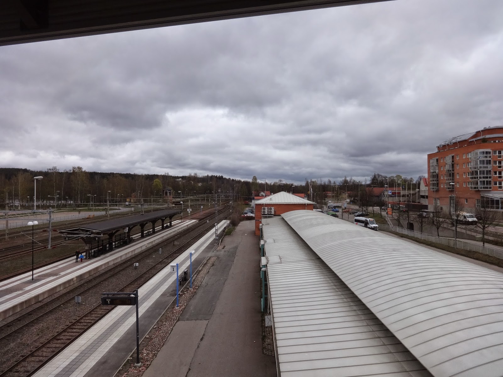
Where to begin with this one? This was a very memorable section hike for a number of reasons. It spanned 4 days and overall was an awesome experience, however there were some challenges I had to deal with on the first day of this trip that had me kinda feeling like this was a doomed voyage with what I had to endure. Yet at first things were great soon after I got off the train in Ludvika, and went into town to buy dinner while I waited for a bus that would take me north to the trail.


The official Swedish E1 information website lists this section as part of both Sméleden and Gagnefs Pasture Paths trail systems, and navigating this roughly 60km from one town to the next is a bit of a complicated affair full of many different alternatives, short cuts, side trails, etc. that can all make things challenging for hikers. There is one part of this section that I would recommend skipping (more on this soon), but I would definitely not skip ahead too far, as I found much of this stage quite a pleasant hike. The bigger issue with skipping ahead here is missing the next section of trails that goes from Mockfjärd to Leksand, which is an excellent section that I would strongly suggest not skipping or missing out on.
First let's start with maps. I strongly suggest that anyone traveling the E1 here to buy a good map of this neck of the woods, such as the Lantmäteriet Terrängkartan 638 for the Borlänge area (Google it and buy it from your book/map shop of choice). Much like my last report, I was unable to find much information or maps online, and after traveling through this area I can say that having good map and compass skills is essential. You'll need to rely on a good map and compass both getting through this section, and may at times (like it or not!) need to go off-trail and/or bushwhack. As I also found out after exploring this area myself, even the good map I had was not entirely accurate.
But please don't get discouraged by all this, and keep in mind the context of the area--while it is a bit isolated, this area does have back roads, villages, and other small havens of civilization around. The small city of Ludvika, the town of Smedjebacken, and the small town (or large village?) of Mockfjärd at each end of this section of the E1 have useful things for backpackers like restaurants, shops, and such. Perhaps more importantly is that there are connections to local public transportation in Smedjebacken and Ludvika that can (and in my opinion should) be taken advantage of.
Traveling southbound, the E1 continues on to Björsjö, and you can read my report on that stage here. Traveling northbound, the trail goes on to the small city of Leksand and/or the Leksand area trail system, and you check out my report on this section here.
If you have not read the introduction to this trail guide yet, you can do so here, and there is also a list of links to other completed reports of the Swedish E1 trails. Please keep in mind this is still a work in progress.
Now on to the guide!
---
Where to begin with this one? This was a very memorable section hike for a number of reasons. It spanned 4 days and overall was an awesome experience, however there were some challenges I had to deal with on the first day of this trip that had me kinda feeling like this was a doomed voyage with what I had to endure. Yet at first things were great soon after I got off the train in Ludvika, and went into town to buy dinner while I waited for a bus that would take me north to the trail.

Subscribe to:
Comments (Atom)