


Introduction
Nordvärmlandsleden is a roughly 55km hiking trail that follows the Klarälven river valley in northern Värmland county. The trail technically has a southern terminus in the village of Branäs, but this guide and trip report will cover the trail from the village of Ransby (just across the river from Branäs) to the northern terminus in the village of Höljes. This section is a continuation of my alternate Swedish E1 trail called The Troll Trail/Trolleden. Click here for more information on this trail system.
Here is the official website for this trail in English, but there is not much to it. Nordvärmlandsleden is generally well marked and maintained, and has some nice views as
it traverses up and down the peaks and ridges of the long and beautiful valley.
It even goes up to Värmland’s highest point, the small mountain (or big
hill) called Granberget, 700m above sea level. There is also a really
cool lookout tower built on its peak.
However there are also several bogs and tough elevation gains that you’ll have to slog through to earn these nice views. And while there are some trail shelters along the way, they are not remarkable (more on that later) and you may be better off sleeping in your shelter. This presents another complication, as due to the steep and rocky terrain, it can be a challenge to find flat, soft spots to make camp.
At both villages at each end of this trail there are options to take a zero day if needed. Ransby has a B&B and Höljes has a campground with cabins. There are also resupply options at each end of the trail. About 8km north of Ransby on the highway there is a supermarket, and in Höljes there is a supermarket right next to the only bus stop in town. This is an isolated area, so make sure to look into bus times well in advance, and be warned that buses not only run rarely, but you may also need to call and book public buses. See Värmlandstrafik for more information, and you can also download their app on your phone.
Trip Report
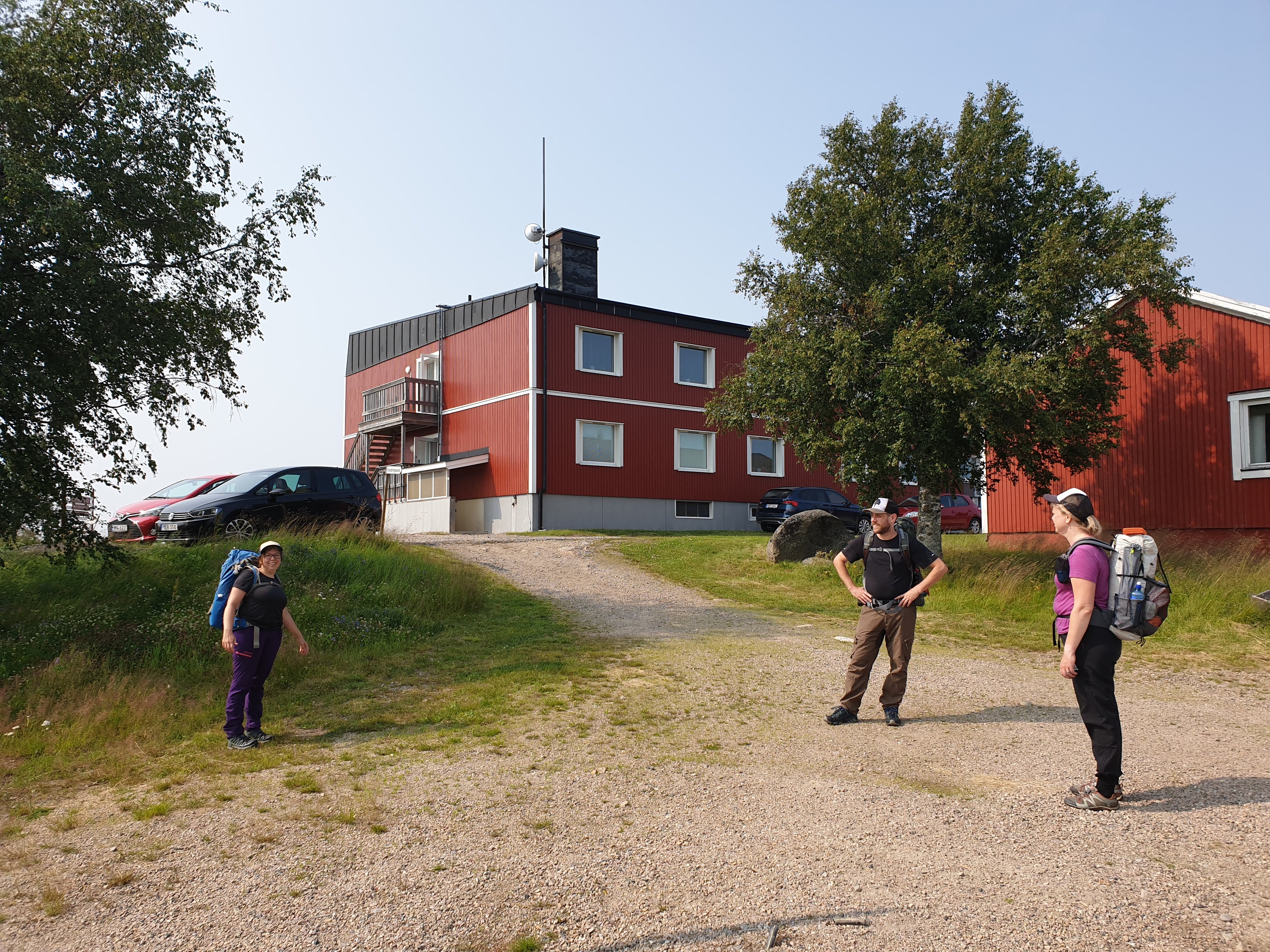
I hiked this trail in July of 2021 with my wife and two friends. We really enjoyed the trail, but agreed it did have a fair share of challenges and type-2 fun. It's also nice to experience an off-the-beaten-path type of trail. You are not likely to see very many people on this trail, with a few areas that are an exception: the villages at either end, but also about halfway into the trail there is a big hotel. The hotel is at Långberget, and to our surprise had a small shop, a restaurant, and even a swimming pool. I had just worn out a pair of socks that day and was complaining about it shortly before we reached this hotel. And the little shop sold hiking socks! And cold drinks! And ice cream! It was a really pleasant surprise.

So if you want to spoil yourself in the middle of this hike, this is your chance. But don't expect for the trail shelters to make you feel very spoiled. There are also some old farms and cabins on or near the trail that were locked up and not for public use, but no need to discuss them here. The only thing worth mentioning is that some of them have some flat ground near them that you could set up your shelter at. There's not much flat ground on this trail, as stated earlier. Here's a quick breakdown of each shelter we encountered (going NOBO), and note that not all of them were marked on our maps:


The cabin near Granberget. It's large, which is nice. We set up two inner tents inside of it and there was still room to sit and eat at a little table inside. There's a fireplace too. But it's run down and the floor is uneven, and there were lots of spiders and bugs inside. There is also a spring close to the cabin, but it's lid and cover are in ruins and it was difficult to get water out of it. But the water was clear and cold. Overall it works, but it's far from the nicest cabin I've ever slept at. Pretty location overlooking a meadow, tho. 6.5/10.

Shelter at Kvarnsjön, overlooking the lake and also right next to a good sized, babbling stream. Fire pit, benches, and the floor was even. Could fit up to three just fine, but four would be tight and the limit. 7/10.
Now on to my usual photo essay of some highlights of the trail:


The ridge/hill plateau going north from Ransby was one of our favorite parts of the hike. Great views and good hiking, but getting on top of the ridge will work your cardio.


One of many bog crossings. Some of the bogs had planks to walk across, but others did not. So expect to have wet feet at some point on this trail. This bog close to Näcksjön seemed to go on for the longest stretch and wrap around the lake, and we agreed it was one of the lowest points of this trip. Not only is hiking through a bog difficult, but there were even bogs that seemed to go uphill and make hiking even more challenging. But the northern end of Näcksjön returns to better hiking.

One plus side of bog crossings in Sweden are all the cloudberries, if you like them. I personally am not a fan--they are "meh" to my taste buds. The best way I could describe their flavor is an initial taste of peach and a creamy texture followed by big, crunchy seeds and a bitter aftertaste that for me reminds me of olives.


There were various places with picnic benches throughout the trail. Here we stopped for lunch before we made it to Långberget.

The view at Långberget.


The bridge over Tossan river.


Hiking gradually up Granberget, which also includes crossing yet another bog before the peak. Then below are several pictures from on top of the lookout tower.


The road to Höljes after coming out of the woods. Soon you cross the Klarälven river again, and on the other side are the supermarket, bus stop, and also a campground where you can rent cabins or tent spots. The campground also has a restaurant, but both the reception and the restaurant seem to be only run by one person and opens and closes on their whims. So you should call ahead to book a cabin, and you may need to call more than once for them to actually pick up the phone. Decent campground overall tho, but a bit run down. 7/10.


Past Höljes is one last connection to the next and last long trail of the Troll Trail. Please see my notes on this route on the main Troll Trail page or in the condensed guide to the trail. Next up is Södra Kungsleden, perhaps my favorite part of the entire trail.