


Introduction
If you haven't read part one of this section's guide, you can do so here.
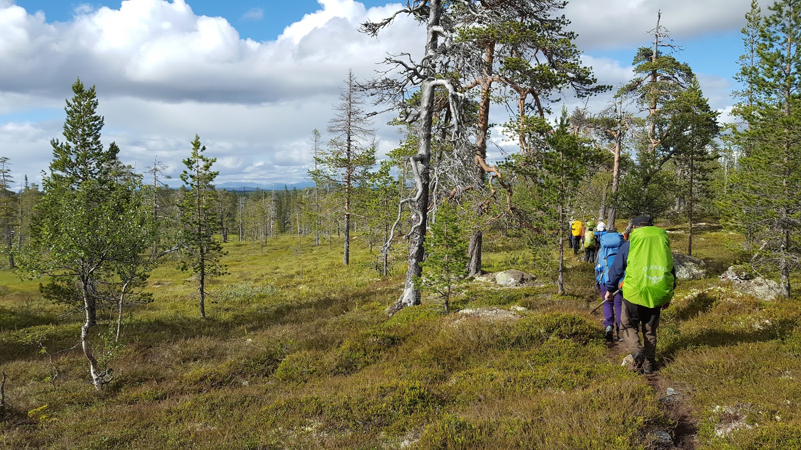
Part two of the Södra Kungsleden trails see the path continue west through Fulufjället, briefly exiting the national park, entering another large national park called Drevfjällen, and then heading north. As before, this hike offers stunning views and gorgeous fjäll/mountain landscape, but again with the same cost of it being a more challenging trek. In fact, the group I traveled with and I agreed that this trip was even more difficult than last year's trip (see: link above). In addition to tough terrain and elevation to get through, Drevfjällen park is all the more isolated, and overall the trail was much less maintained.
The trail markings were mostly fine, but a few key spots really could use some better signs/markers. Plus in Drevfjällen there are several marshes/bogs that the trail goes through--much more than before in Fulufjället--and the majority of the time these wetland trails have either no planks/bridges for walking on, or there are old, rotten/broken ones. So you will get wet and muddy, and not just your feet, but most likely up to your knees and beyond. And then there are the trail shelters, which simply put, are generally not as nice as the more popular (and therefore more well maintained) Fulufjället shelters. Though there are a few exceptions, as you will soon see.
Okay, so that's the bad news, but with all that being said (and so long as you are at least a somewhat experienced backpacker), I would still recommend this hike, and my group and I had a great trip. A harder trip, but a good trip, and one that is more off the beaten path than before. In the five days we hiked (only one of which was in Fulufjället) we only saw a handful of people in western Fulufjället (mostly day hikers) and only two backpackers in all of Drevfjällen. And at the end of the trip, we were even able to see a small herd of reindeer.
My wife said of this trip: "It's beautiful, but you have to know what you're getting yourself into." So now you know, and considering the lack of information on this stage of the E1 trails in Sweden, I hope this will help.


Our trip, according to my wife and I's smartphone pedometers, covered roughly 90+km. This is much less than the trail accounts for on paper from the hamlets of Mörkret to Flötningen, but there was quite a bit of zigzagging on the trail, we took some side trails and a some off-trail exploring, and this also includes going off trail for bathroom breaks and water gathering, etc. On the map this section of trail is only around 60km, but in reality it will most likely be longer for one reason or another.
Yet as harsh as this trail was at times, there were still a few surprise luxuries along the way that you can spoil yourself with if you so desire (and have a bit of extra cash to spend). Passing the hamlet of Gördalen there are some nice cabins for rent for what we all thought was a reasonable price, and just across the border in Norway, about 3km from Flötningen, there is another nice place to rent cabins (again for a fairly reasonable price). So these deluxe amenities for a weary backpacker were a nice balance to this challenging yet beautiful section of trail. More information on these campsites/cabins later.

One thing that you won't lack is water, and plenty of good, clean sources of it. You will pass many lakes, tarns, ponds, rivers, springs, streams, and odds are you will probably get rained on too. So hydration shouldn't be an issue. Resupplying food could be an issue however, but there is a small supermarket in the hamlet of Flötningen, but with inflated prices. If you are on a thru-hike of Södra Kungsleden, it may be best to somehow get to the larger villages of either Särna or Idre to buy and prepare your food supplies for this hike, and also the rest of the trail from Flötningen to the end of the trail at Grövelsjön. Idre is larger and has more shops and such than Särna. And we all agreed the lone pizza shop in Särna was generally pretty crappy, but passible for hungry hikers. Canned mushrooms? Seriously?
Transportation is another hurdle to overcome in this rather isolated area. There are buses you can take from Flötningen to Idre, but they run rarely and also have to be booked in advance via Dalatrafik. There are no buses from Särna to Mörkret, so you're going to have to be creative with getting rides to or from there. There is always hitchhiking, but you can also arrange a ride for a small fee via the Fulufjällsgården campsite, which is what our group did, and we rented a cabin there as well. This was the second year we stayed at this campsite, and both times we were quite happy with the facilities and service.
Our group and I had intended to hike all the way to Grövelsjön, but due to several people having some minor injuries, we had to end the trip a few days earlier in Flötningen. We intend on returning there next year to finish the E1 trail and also do some of the many side trails in the area on both the Norwegian and Swedish sides of the fjälls and mountains.
Trip Report
We got picked up at Särna and spent the night at Fulufjällsgården before heading back into the national park. Our first day was rainy and quite windy as we returned to Njupeskär waterfall. We stopped for lunch at the Rörsjöstugan cabins, then continued on to the Harrsjöstugan cabin, where the wind and rain made it difficult to follow the trail from there. At Harrsjöstugan there are three trails that intersect on the western side of the cabin, and in spite of several members of our group (myself included) double checking the signs outside the cabin to go the right way, we took a wrong turn and ended up hiking several kilometers south rather than west.
South there is another cabin called Bergådalsstugan, and the trail loops back to the east past the cabin, so rather than backtrack north we decided to follow a faint trail I discovered that we dubbed "Secret Trail." Secret Trail runs west somewhat parallel to Södra Kungsleden, which is to the north, and both trails end up in the hamlet of Gördalen. The trail begins with a rock pile just off the marked trail to the west, close to where there are four mountain tarns (one is bigger than the rest, east of the marked trail), about 2km north of Bergådalsstugan.


It's a tricky trail to find and to follow. If you choose to hike Secret Trail, be careful, as it is only marked with an occasional pile of stones, and is thin, and at times almost non-existent. But it does pass over higher elevation than the marked Södra Kungsleden, which makes for some great views. We were able to follow Secret Trail up and over Brattfjället and into the edge of the forest on the western slope of the mountain, but dark clouds rolled in again and dumped more wind and rain on us, so we lost the trail and were forced to bushwhack west by northwest back to the marked trail.
This would be the toughest part of our whole trip, scrabbling over and down wet boulders in the wind and rain and off any kind of trail, but thankfully we were all cautious and came down the mountain unscathed. Due to all these complications I wasn't able to take any pictures in this stretch, which is a shame, as it's quite a scenic area, in spite of its difficulties.
Soggy and exhausted, we exited the national park and took a short break at the small, shitty campsite near the paved road. The trail shelter was tiny and in front of a gravel parking lot, and none of us were happy about the prospect of pitching our tents there. So I set off north to try and find the other trail shelter marked on our map to see if it was any better than this one. I couldn't find the shelter, but I was able to find a place that rents out cabins to snowmobile riders in the winter. It was the off season, but I knocked on the door anyhow to see if I could talk the owner into renting a cabin to us. The owner agreed, which we were all very thankful for, and we spent the night in a big, luxurious cabin.
I asked the owner if he would be willing to rent out cabins to other backpackers in the future, and he said yes, so I told him I'd mention it here on my blog. He was happy about that, and was very accommodating and friendly. You can't miss his place in Gördalen, it's only about 1km north off the trail on the main road, and below you will find a picture of the place with a phone number to call if you'd like to book a cabin in advance or see if the owner is around.
The next day we followed the dirt road (which is right next to the cabins) that headed south back towards the trail, and soon enough we were back on the trail and entered Drevfjället. It's a steep climb into the park, and shortly after the elevation plateaus, there was a small trail shelter near a stream where we took a nice water break.


There was some very pleasant fjäll hiking after the little wind shelter, passing several mountain tarns. Then the trail goes more north by northwest and heads back into the forest, where the cabin Drevfjällsstugan stood in a lush, green valley near yet another mountain stream. It was a not bad cabin a bit on the small side, but in a pinch I think all eight of us could have fit, albeit a tight squeeze. Past the cabin the trail follows the boggy cliffs that overlook lake Drevsjön, but views of the lake are mostly obscured by trees and brush until you get to the northern tip of the lake. There was another tiny wind shelter there near the lake, with hardly enough space for one person.
The first of many marshes to come was between the lake and the next trail cabin, but thankfully the cabin was on a hill and in a clearing. The cabin was perhaps the nicest in the entire park, lucky for us, as we decided in advance that we would be camping there. The name of this cabin is Id-Persätern, and the cabin was in the remnants of an old farm. There was a good stove in the cabin, enough space to fit all eight of us inside (and fairly comfortably--by backpackers standards, that is), a crystal clear stream with good, cold water a stone's throw from the cabin, and there was also a good outhouse close by too.


The trail takes a sharp turn west at this cabin, and there was a mix of bog and mountain forest until there was another clearing on a hill with another old farm called Brunnsätern. We had a nice break at this farm then hiked on to more bog and forest mixed hiking, passing yet another (smaller) farm called Fågelåsen, then there was yet another tiny wind shelter near a small river.
Past this shelter the trail goes up again in elevation to another smaller fjäll area with a few mountain peaks in the distance, though the trail skirts around these mountains, where at the foot of one of them there was a nice cabin. We only stopped for lunch at Röskåsen cabin, but it would have been a nice cabin to spend the night, with a stream and an outhouse, plus nice views of the area.


It had been colder than normal in the area, which was a shame when it came to blueberries and other wild edibles, because going north from Röskåsen cabin to the big lake Busjön there was a big stretch of hilly blueberry woods. It still made for a lovely hike, and we had better luck with the weather at the time. But we didn't have very good luck when it came to the next cabin that is next to Busjön lake, which was small and oddly enough, had no floor. Rather than stay the night in this sub-par cabin, we decided to check out a peninsula just slightly off the trail close to the crap cabin (around .4km or so) to the northwest to set up our tents for the night.
There was an old, abandoned farm there with a fair amount of flat ground to set up tents. We ditched the idea of having a campfire that night, in spite of the good weather, because this place was swarming with both mosquitoes and midges. So instead we checked in early that night to get a good night's rest and avoid the bugs. Unfortunately the lake didn't have an ideal place to have a swim as we hoped it would, but the water from the lake was clear and good for drinking and cooking.


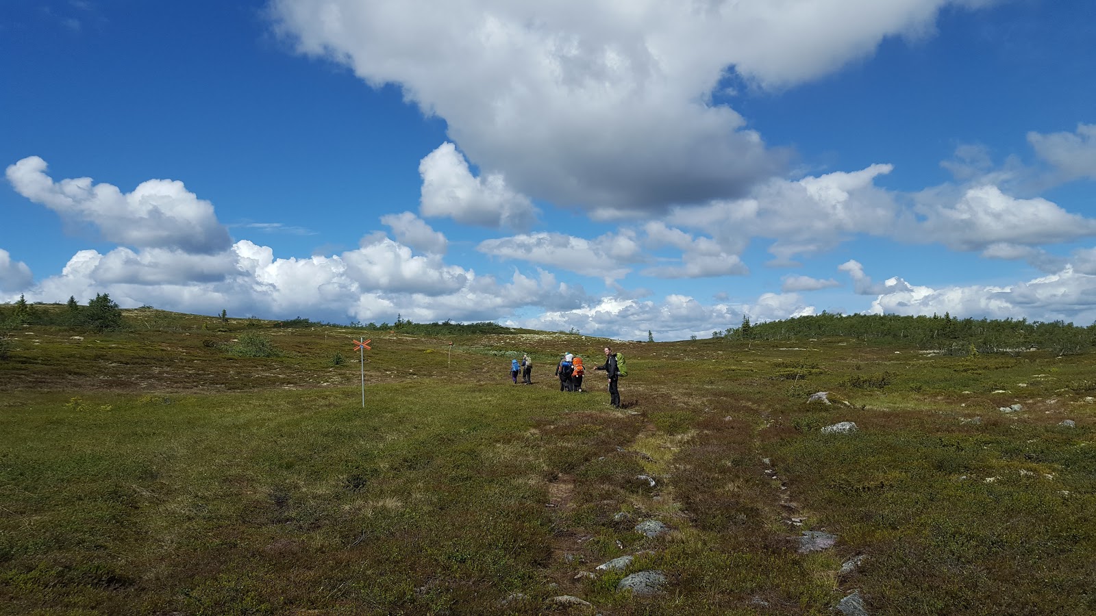
After the lake hiking north there are several kilometers of vast marsh and bog terrain to cross. It's not entirely unpleasant, with open views of the raw wilderness in all directions. And if you can get over being soaked, the walking is easy on your feet, with soft, soggy moss and grass for much of the trail here. But as I mentioned before, at times it's tricky business navigating through knee-deep muck and mud of the bog, and there is of course a fairly constant cloud of bugs around to annoy you.
Going north there was also another crappy little wind shelter on a small hill in the middle of a bog, and there seemed to be even more bugs there than in the middle of the bog. But towards the end of the national park the trail follows a river for a few kilometers, which was a nice end to Drevfjällen--though even at the park's entrance there was a lack of planks and/or bridges, and plenty of muddy, post-hole hiking.
Shortly after you exit the park however, there is a dirt road, and a few kilometers later this road takes you to the hamlet of Flötningen. From here it's only about 40km to the end of the Swedish E1 trails at Grövelsjön, but unfortunately we had to call it off early. Some people in our group were in pain from various minor injuries from all the challenging hiking that I've been describing, so nothing else to do but end it at a good exit point. To our surprise there were a few bus stops in this little hamlet, so after some smartphone research we found out that there was a bus early the next morning that could take us to Idre, where we could get on another bus to Mora, then a train home.
At first we decided to put up our tents in the woods near the hamlet, but after talking to some locals at the small supermarket, we found out about some cabins for rent just across the border in Norway. So a short hike later in Norway we rented a few small cabins and enjoyed our last night out, and it was a pleasant bit of luxury for a crew of sore backpackers. But we have agreed to return and finish this last bit of E1, and then afterwards we'll have plenty of time to explore all the interesting trails that are in the Grövelsjön area. So check back next year for the third and final part of the Södra Kungsleden trails that make up the final northern section of the Swedish E1 trail.
Until then, as always, feel free to ask questions or give feedback in the comments below or via my blog's Facebook site.


