----------
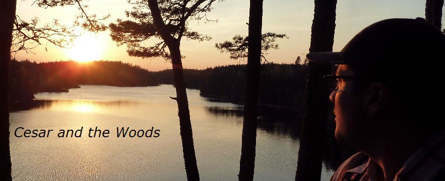
This post covers Stage 15, Kaserna-Metsjö, of the
official guide to the trail.
You can also check out my report on the section before this one (going southbound), Stage 16.
If you have not already read the introduction to this trail guide, you can check it out by clicking here. It has a list of reports on other sections I have hiked plus other important/useful background information in general--so please read the introduction first before reading my reports.
----------
* Another gem of a hike, though it is a longer stage at 17.5km. You can take your time in this section if you wish, however, as there are many trail shelters--one of which is a mini-cabin which is fully enclosed and even has a small wood stove. Have your water bottles and purification system (if you have one, some bold people drink water raw) handy, as you can fill up conveniently at many places on this lengthy stretch of trail. I have found that the running water from springs/streams is colder and tastes better than lake or big river water.
Speaking of springs and streams, I lost count of all the little babbling water sources on the first part of the stage as you follow along Munkedalsälven. There is also a decent shelter on the riverbank, where I stopped to have some dinner.
Speaking of springs and streams, I lost count of all the little babbling water sources on the first part of the stage as you follow along Munkedalsälven. There is also a decent shelter on the riverbank, where I stopped to have some dinner.


If you love the sight and experience of walking across footbridges, this stage also delivers several lovely specimens. There are also a few small waterfalls. As it was mid May, here in south-west Sweden the water was still chilly, and the day temperatures were quite pleasant (around 20C), I didn't feel like taking a swim. On a hot summer day I would imagine that this section would be ideal, especially for the fun of swimming/wading around a waterfall.
Soon after passing a roaring, narrow waterfall that cuts right through a huge boulder is the mini-cabin that is open to travelers to use. Outside of the building are also some really nice campground facilities, as you can see in the pictures. This would be a great place to bring a group of friends to set up tents and play in the nearby waterfall, maybe go fishing in the river too. Alas, I was on my own, so after a short break I went on.
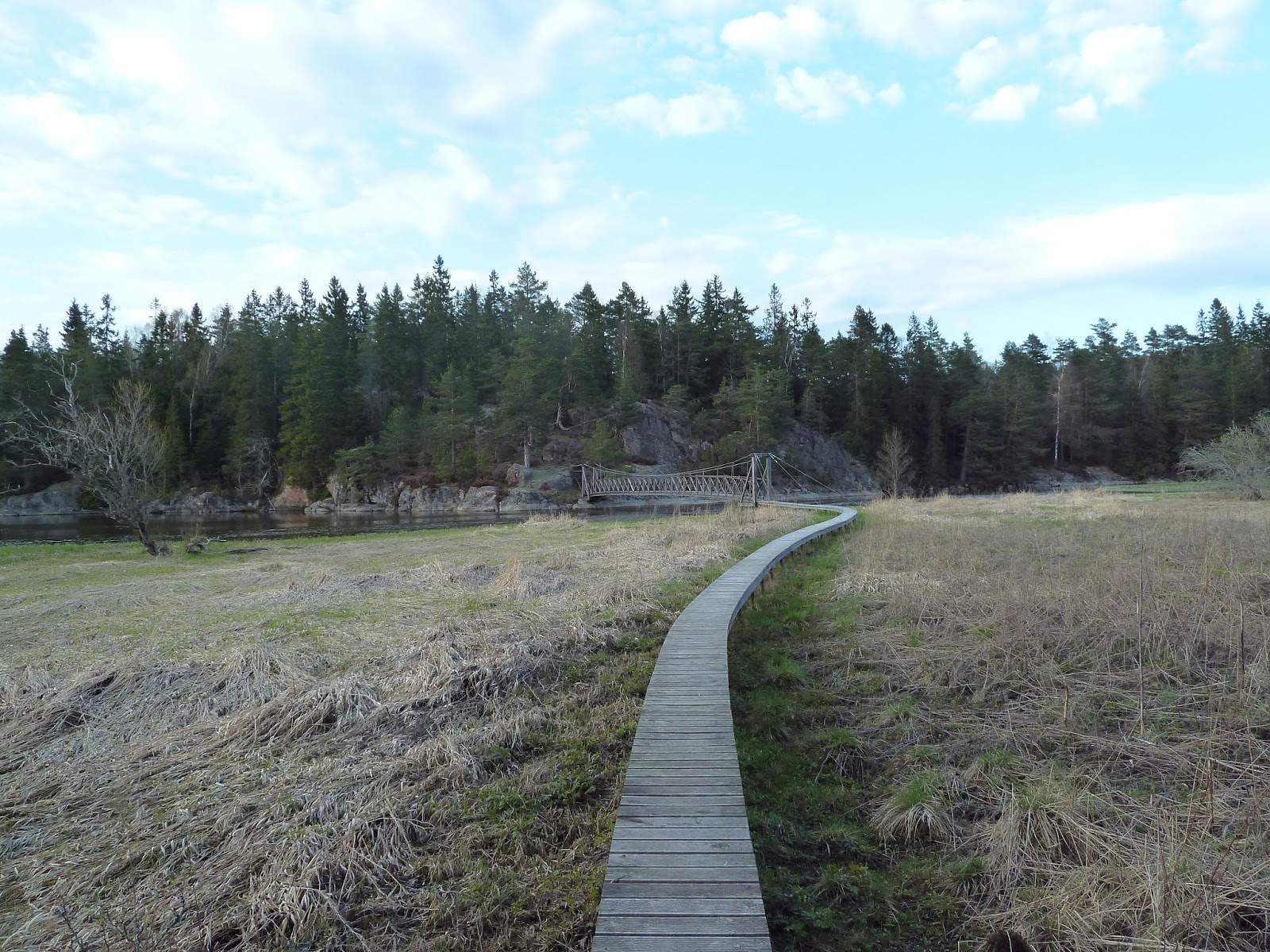


A short walk on a few roads and the trail will go back into the woods, to the south end of the large lake Viksjön. You will be able to see the next shelter across the water, and this is where I slept for the night and enjoyed the sun setting and the fine view across the lake. The next morning, just by chance as I was walking around the area around the shelter, I stumbled upon an outhouse. Didn't remember to take a picture of it, but sitting on the shelter, if you turn and walk to your right it is in that general area, maybe 100 meters away or so. My only complaint, and it is a minor one, is that this shelter had kind of a low ceiling, so expect to keep your head down and/or crawl around inside, especially towards the back of the structure.


The next day after a good night's sleep with the shelter all to myself, I eagerly packed up to finish this big stage. On my way through an open pine forest, I saw a group of around 5-6 deer, but as soon as they saw me they were like ghosts into the wind--too slow to get a picture, I regret. Eventually the pine forest turns into open, clear-cut forest. In this clear-cut section of trail I suggest you pay close attention to the trail markers, which at times are hard to see and not very clear.
At times it was a real maze of young pines, a bit frustrating, plus you can't really see much around you. As a nice reward for going through this bit, following the next lake Mjövattenssjön is quite nice; kind of a spooky, quiet area, and in one stream I noticed a small beaver dam. Soon after is some elevation with a nice view of another big lake Övre Trästickeln, where there is another shelter. This shelter is bigger than the last one, and on more of a small cliff. At the bottom of the cliff near the shelter would be a great place to take a swim, but I only stopped for lunch, where a snake slithered up to the fireplace to keep me company.


While at the shelter, after eating lunch and relaxing a bit, I studied the map and noticed that the trail would be going into a swampy area to the south. Sometimes swamps can be great places to hike, provided there is a solid place to hike through (natural or man-made, like planks/bridges). I didn't feel like finding out the hard way, plus I wanted to save some time so that I could move on to the next stage, and on top of those factors I just so happen to have noticed that the trail comes very close to a lumber road. So I did a bit of off-trail fun (as I often do), found the lumber trail, and got to the end of the stage easy.
The map notes that there are two more shelters on the trail, I would add, in case the other shelters are full or something (though I didn't see anyone at all on the trail on this entire stage). But if you want to skip the swampy southern bit as I did, just break out your compass when you get to the boarder of the nature reserve that starts at the south end of the lake (there is a wooden post on the trail that notes this), and walk east by south east for about 300m or so. You should run right into the end of the lumber road, which takes you to another road where you make a right turn, and soon you're at the end of the stage--and perhaps with drier feet and less bug bites.

I got through this whole stage in about 8 hours in two phases--not including the time I took making/breaking camp and sleeping of course--but does factor in several breaks, including a long and relaxing lunch break. Another great stage that offers a nice compliment to the previous section (Stage 16) by continuing to have water as a central feature, a variety of terrain, some more isolated areas of the woods, and several good views. The next few stages headed southbound go closer towards civilization and skirt the small city of Uddevalla, but are still quite pleasant and unique.
Next is Stage 14.